The Lower Columbia River Watershed

Map of the Lower Columbia River Watershed
 

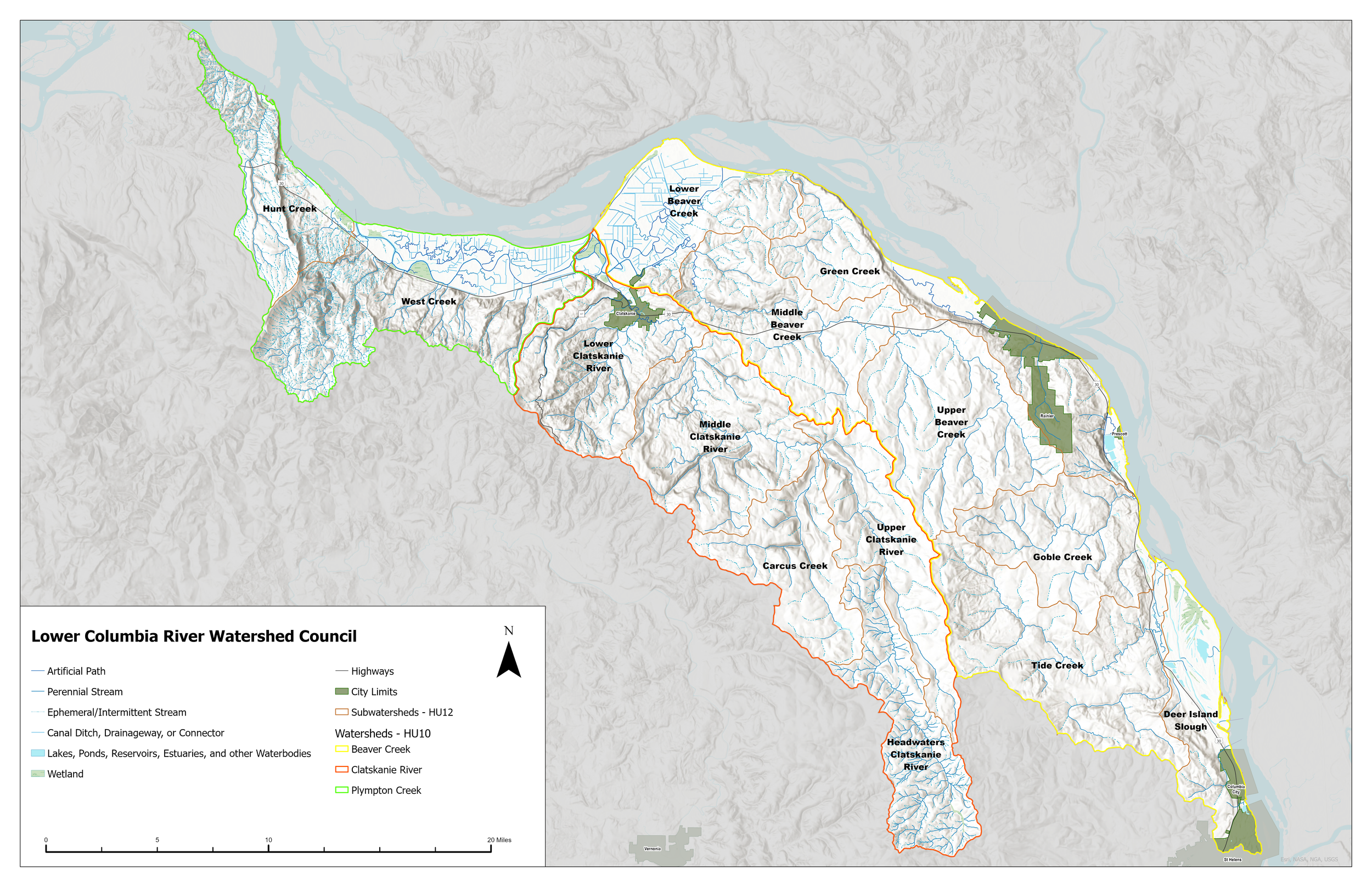
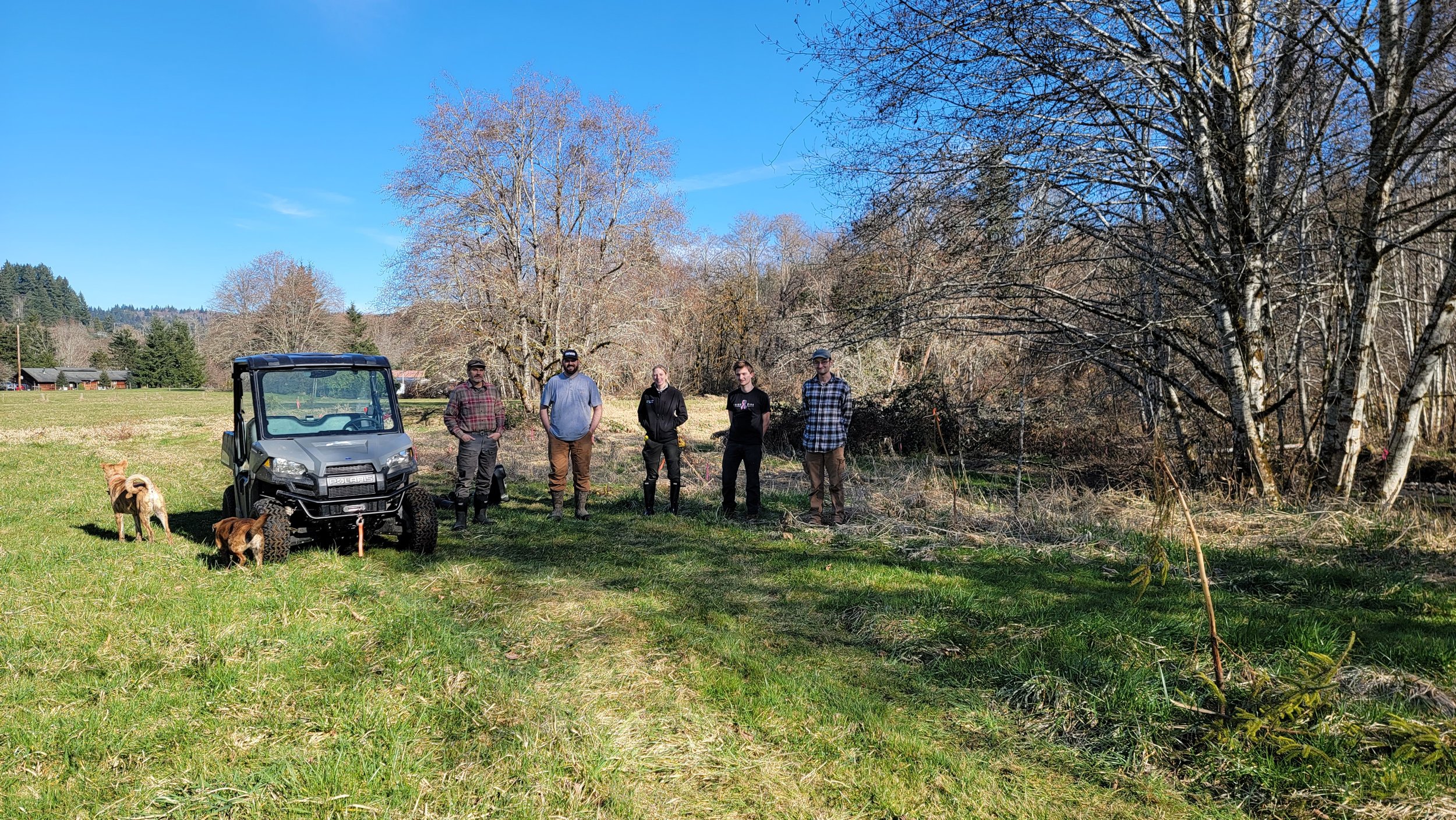
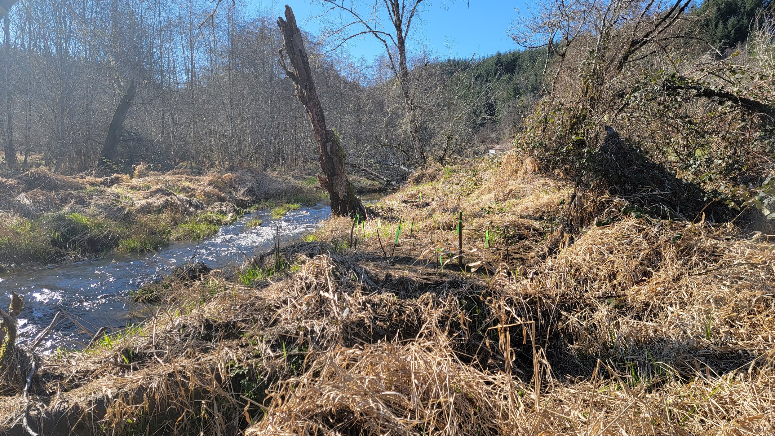
The Lower Columbia River Watershed Council serves the Lower Columbia River Watershed, a 298-square-mile area along the Columbia River in Columbia County, Oregon. This landscape is where forests, farms, wetlands, and rural communities connect to one of the most important river systems in the Pacific Northwest.

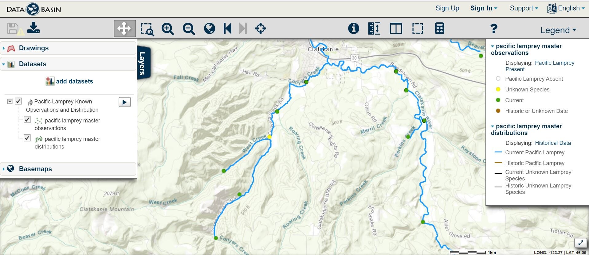
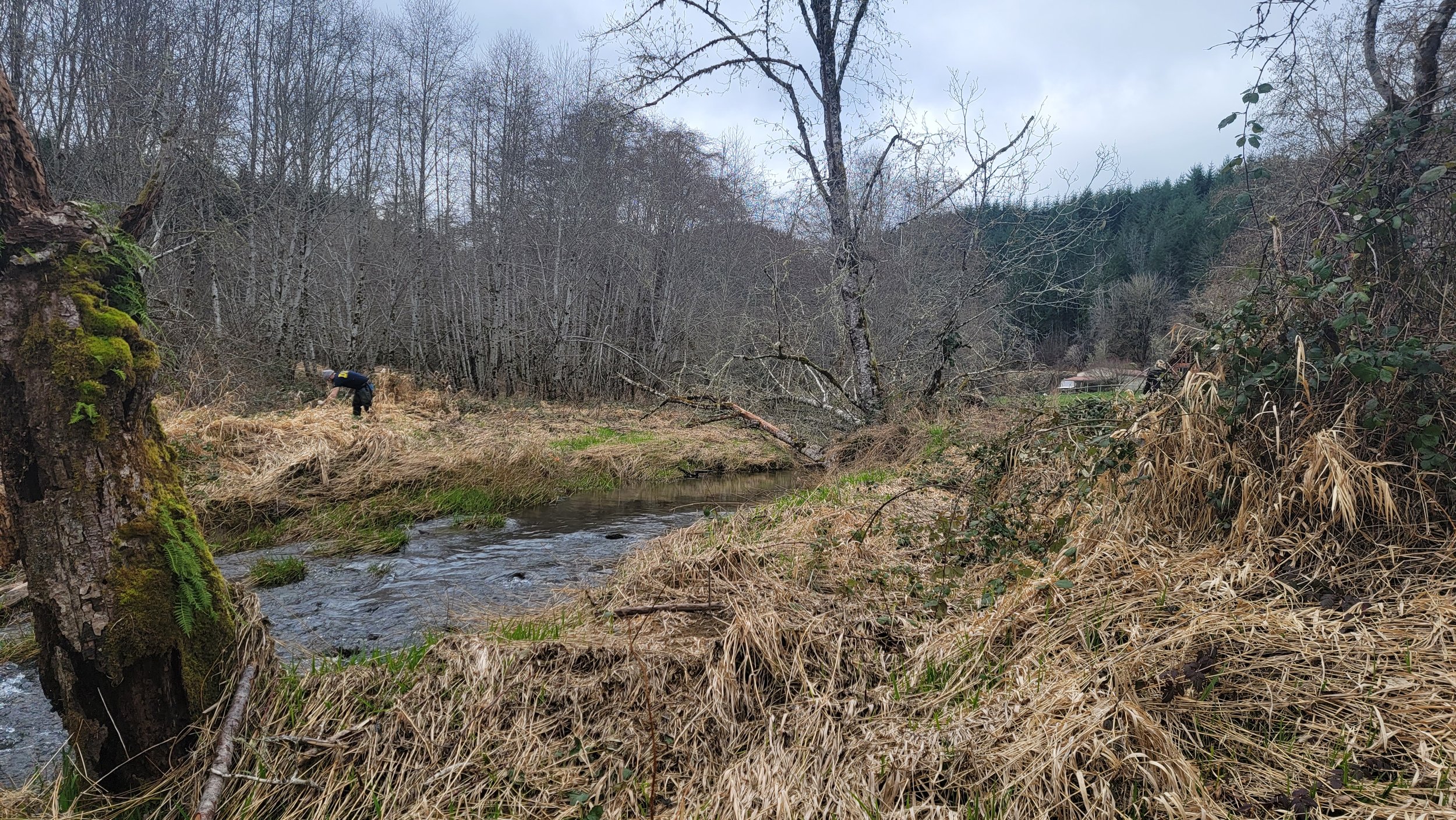
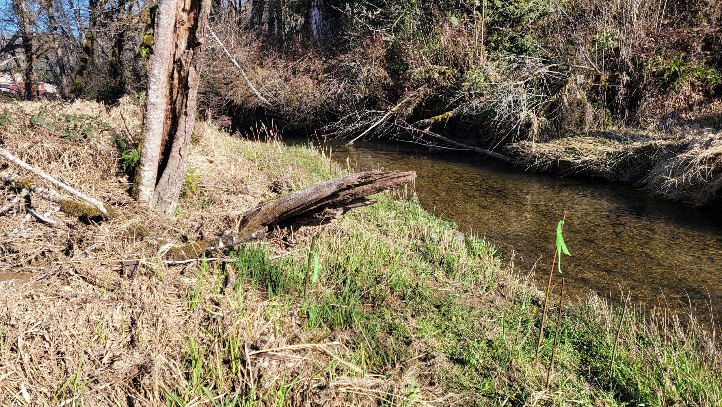
Our watershed includes three closely linked subbasins: Plympton Creek Frontal Columbia River, Clatskanie River, and Beaver Creek Frontal Columbia River. Streams in these subbasins flow through working lands and natural areas before reaching the Columbia River, shaping local ecosystems and supporting the people who live and work here.

All of our watersheds are influenced by the greater Columbia River Estuary ecosystem, where freshwater from inland rivers meets tidal waters connected to the Pacific Ocean. This estuarine influence affects water quality, fish and wildlife habitat, and the health of the river system as a whole.

Why This Watershed Matters

  • Supports fish and wildlife — including salmon and other species that rely on healthy rivers, wetlands, and estuarine connections

  • Sustains local communities — by protecting clean water, productive lands, and resilient ecosystems

  • Connects land to river — recognizing that what happens upstream affects the Columbia River and downstream habitats

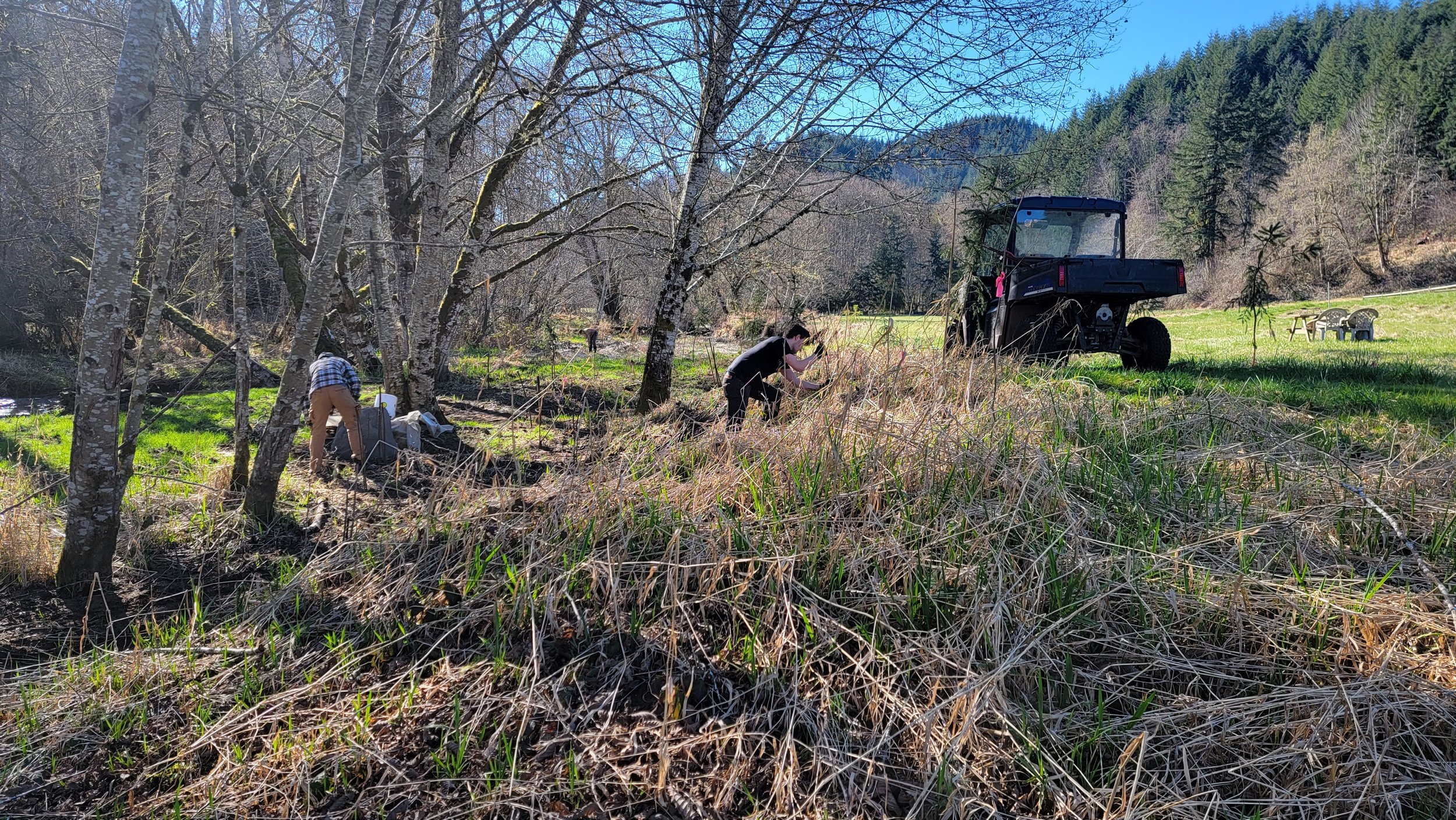
  • Fosters shared stewardship — bringing landowners, residents, and partners together to care for the place we call home


clatskanie floodplain

Efforts continue to bolster wetland habitat function through increased plant diversity for large scale floodplain reconnection project.

Project elements for floodplain reconnection and improved habitat complexity.

Project elements for floodplain reconnection and improved habitat complexity.

The battle for native plant diversity continues…

The battle for native plant diversity continues…


lamprey barrier assessment

Recently the Watershed Council was awarded a proposal to assess barriers to Pacific Lamprey migration needs for the broader Lower Columbia Region.. Here a summary of the project approach and goals.

Below is a summary of the barriers identified within the Lamprey’s historical distribution, these will continue to be prioritized for potential ecological lift and ground-truthed with local sponsors.

pacific lamprey presence in Lower columbia watersheds

Lamprey species at cLASTKANIE FLOODPLAIN PROJECT

Restored side channel has created new opportunities for not only endangered salmon, but important lamprey species. This is a juvenile lamprey caught by ODFW on site. They have very specific habitat requirements include particular substrate structure and temperature needs. LCRWC will continue to collaborate on monitoring important for cold water species and will track temperature and water levels as the site evolves from restoration actions.

tide creek planting project (ongoing)

Planting continues to improve wetland plant diversity and function in partnership with Tide Creek Aggregate LLC.


tide creek project.JPG
page creek.jpg

 page creek Fish passage and complexing (ongoing)

 kloppman large wood placement

louisiana swamp

 Monitoring continues to track vegetation changes and relevance to informing future estuary habitat project development.

Site condition before project.

Site condition before project.

Louisiana Swamp condition (new channels and vegetation condition)

Louisiana Swamp condition (new channels and vegetation condition)

 batwater station

Estuary habitat continues to evolve from restoration along shoreline of broader Columbia River Estuary.

Conyers Creek Planting, February 2022

HAbitat Enhancement continues…

Planting continues on Conyers Creek with help from Lower Columbia Engineering and landowners. Project elements also include removal of drainage tile to re-establish historical hydrologic patterns and wetland condition.